At the end of the CVMA 15-1 Labor Day Charlie Mike event, everyone split into groups to either ride back to the Fayetteville area or to other destinations. I rolled south, riding part of the Moonshiner 28 again, until turning east on Walnut Creek Road just south of Franklin, NC to pick up what’s known as Wild Dam Waterfall Loop. The road immediately turned into tight twisties with noticeable elevation change, continuing through Nantahala National Forest, The Pines Recreation Area at Lake Glenvilleand Gorges State Park.
I’m used to seeing lakes in the Nantahala Forest area, but not many with actual beaches! The Pines Recreation Area had a great beach area on Lake Glenville with lots of shaded areas and picnic tables.
Gorges State Park in NC Transylvania County boasts 26 waterfalls in 8,000 acres of temperature rain forest. The view from the Visitor Center provided a great break off the bike for a bit before a short hike.
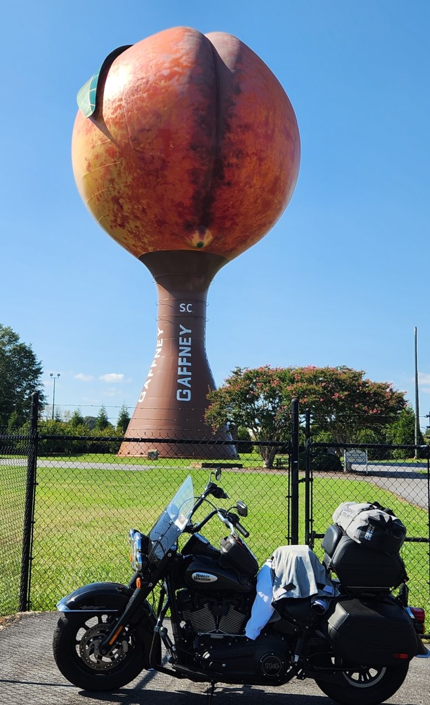
Following an ancient Cherokee path, this 112-mile nationally designated scenic highway passes through peach orchards and small towns. Although there were signs with the emblem representing the designated Cherokee Foothills Scenic Highway, there wasn’t a single historical marker or information placard anywhere along the route to provide information about the significance of the route. Ironically, the Table Rock State Park Visitor Center is also designated as an information site for the scenic byway, but there was only a single, sparse brochure about the Cherokee history connected with the path, no other educational material was made available. The only other place on the designated route for info was the Museum of the Cherokee in Walhalla, which was closed on the day I rode the byway. The route itself is just a straight, flat road and not very scenic, though notable sites along the way include the world’s largest peach (the 135-foot Peachoid water tower in Gaffney with a crease that looks amusingly like a bodily crack :-), Cowpens National Battlefield (I had visited previously), Table Rock State Park, and Campbells Covered Bridge.
The commanding granite cliff face of 3,124 ft. Table Rock is easily visible from the state park visitor center, which also has great picnic areas and even a lake with a boardwalk for viewing wildlife and fishing.
This 35-feet long, 12-feet wide structure, known as Campbell’s Covered Bridge, was built in 1909 and is the last known covered bridge in South Carolina and was named after a local grist mill operator. By the number of families wading in the water and picnicking in the area, the bridge and surrounding park seem to be a popular recreation area.
I took a day and a half to ride the 100+ miles of the Cherokee Foothills Scenic Highway, then continued west into Georgia to ride the famed Suches Loop. Sometimes referred to as the “Dragon” of Georgia, its narrow, twisty roads definitely rival North Carolina’s Tail of the Dragon in some areas. There aren’t many areas to pull off to enjoy the view, but a stop at Vogel State Park provided a welcomed break.
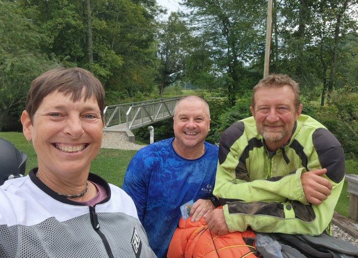
I stopped to check out an oft talked-about campground on the loop, Two Wheels of Suches. I wasn’t camping on this trip, but wanted to check out the cabins for a potential future trip. There wasn’t anyone working the registration area, so I couldn’t see inside the cabins, but I ended up hanging out and chatting with two fellow riders on adventure bikes who were in the middle of riding the Smokey Mountains 500 (intentional misspelling by original route creator). A 500-mile off-road loop through the mountains and forests of GA, NC, and TN, the Smokey Mountain 500 was providing lots of misadventures for Troy and Bart, which translated into great stories that kept me amused and in awe for much of my off-bike break 🙂 Great guys and even better stories!